Antigüedades Madrazo Barcelona · Desde 1975
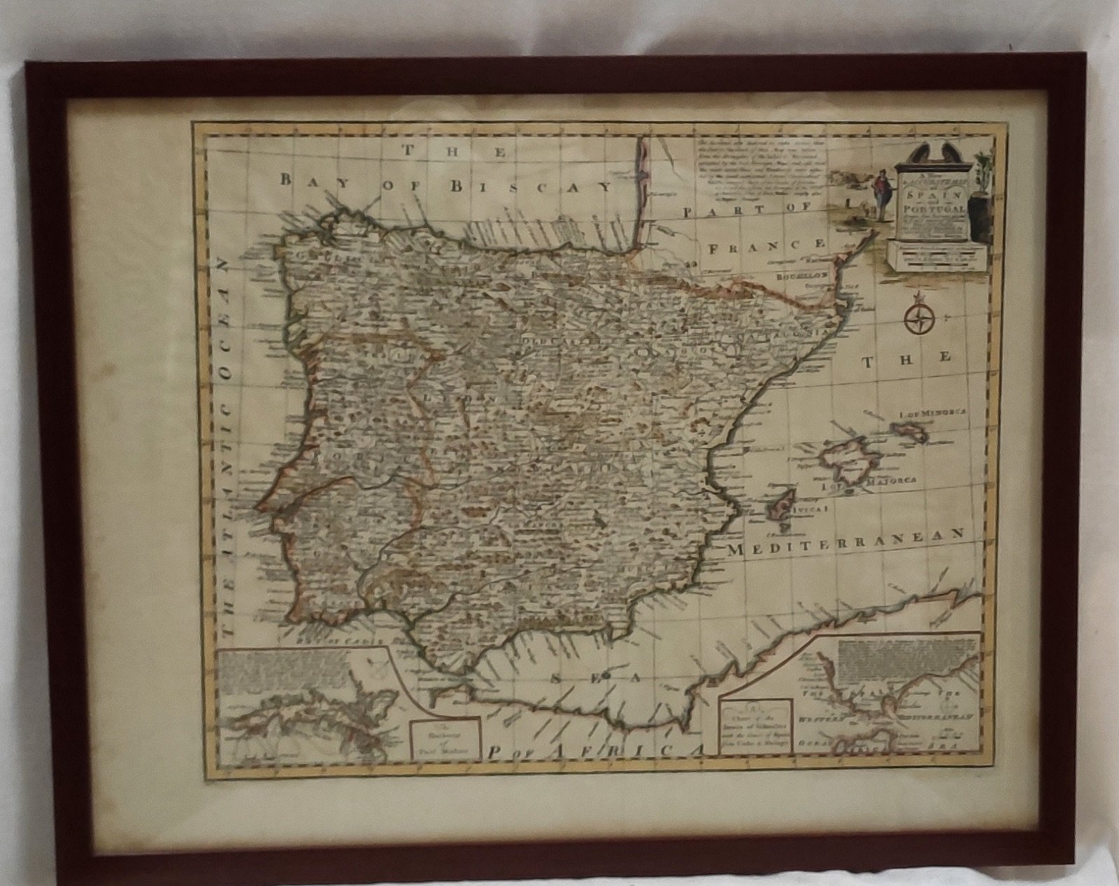
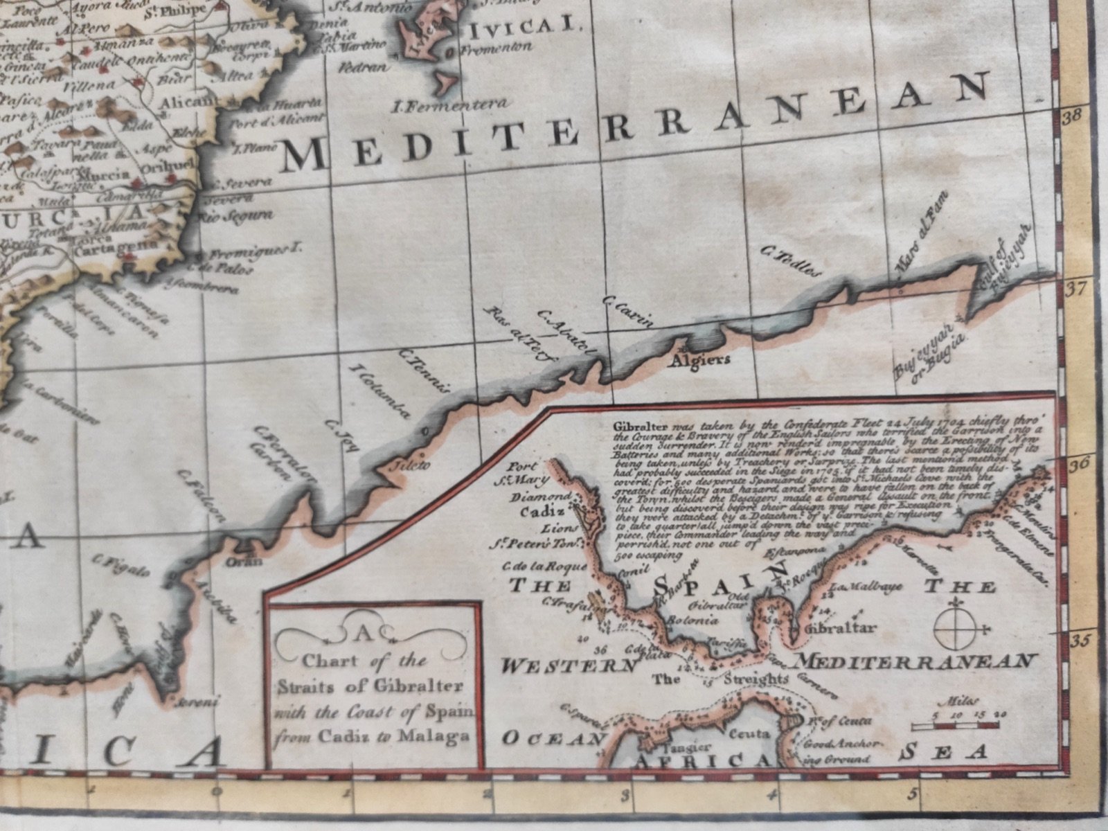
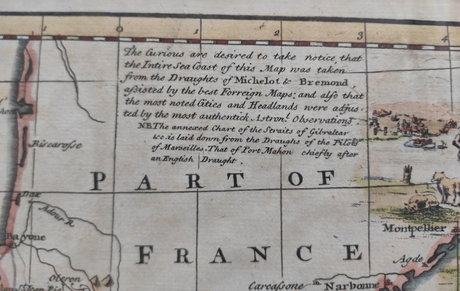
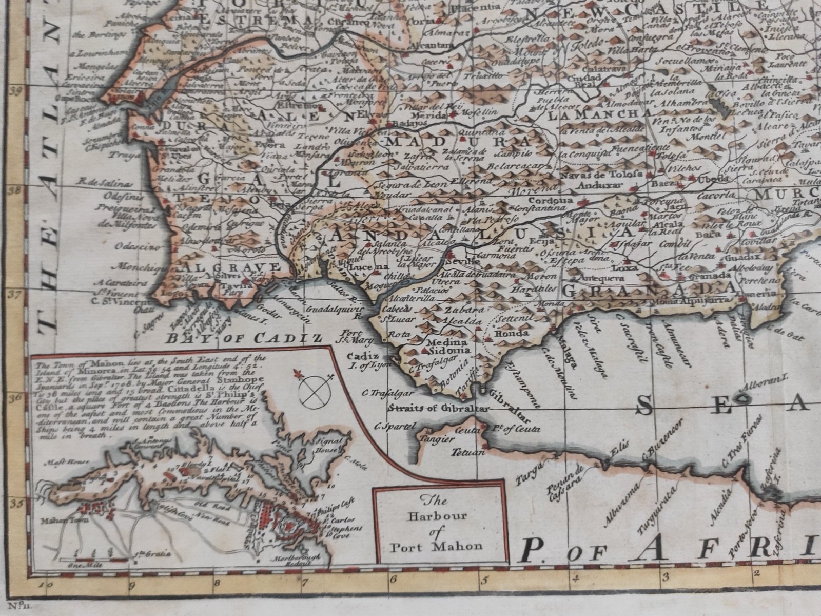
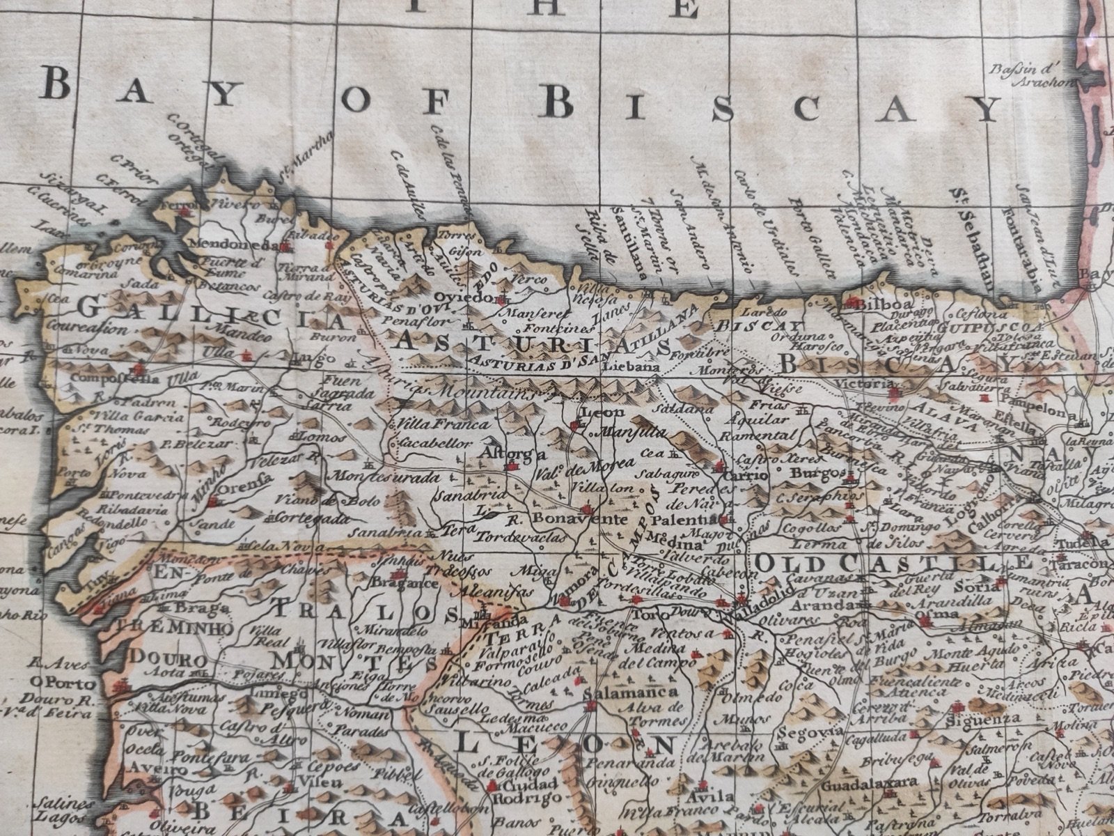
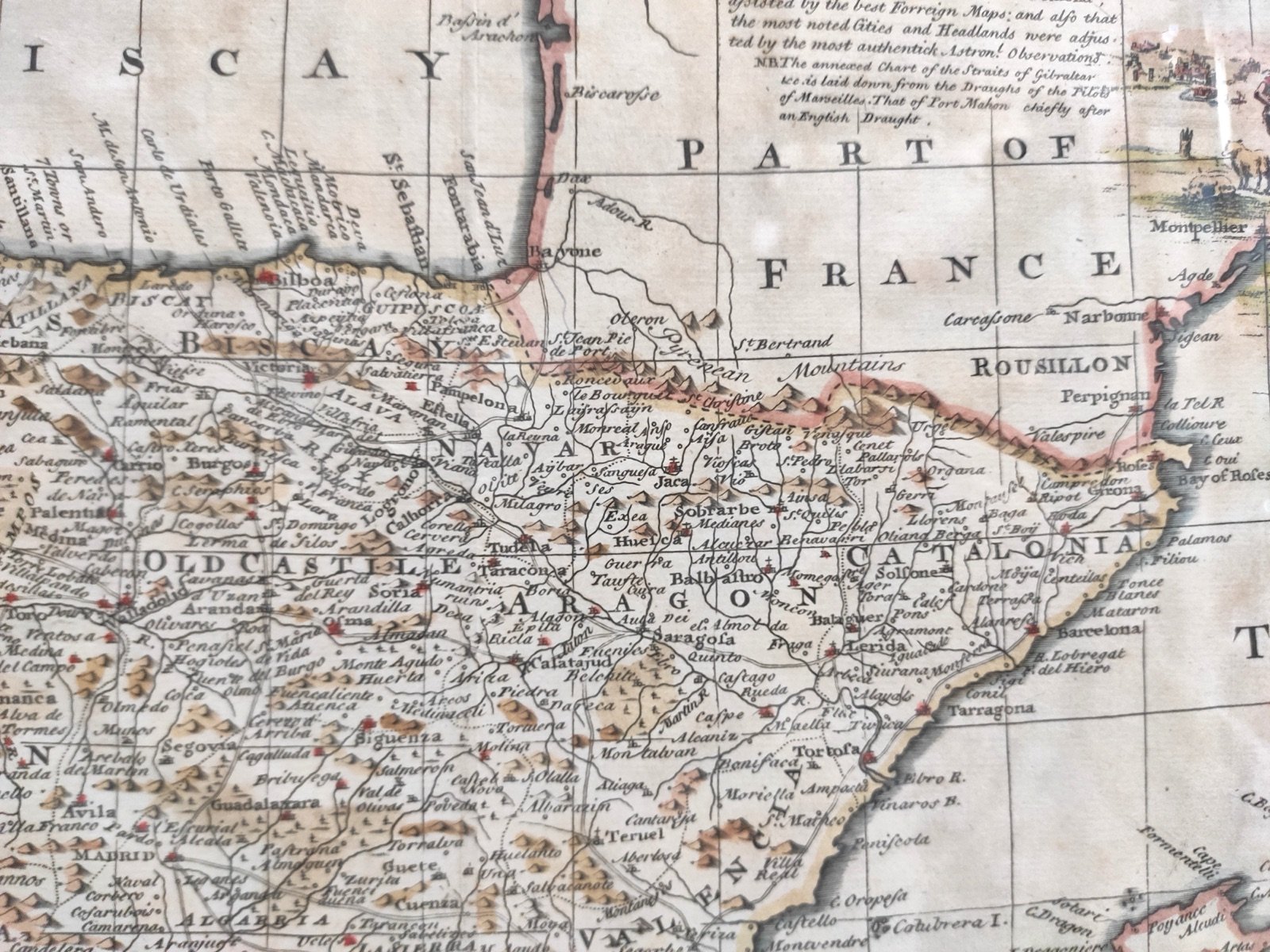
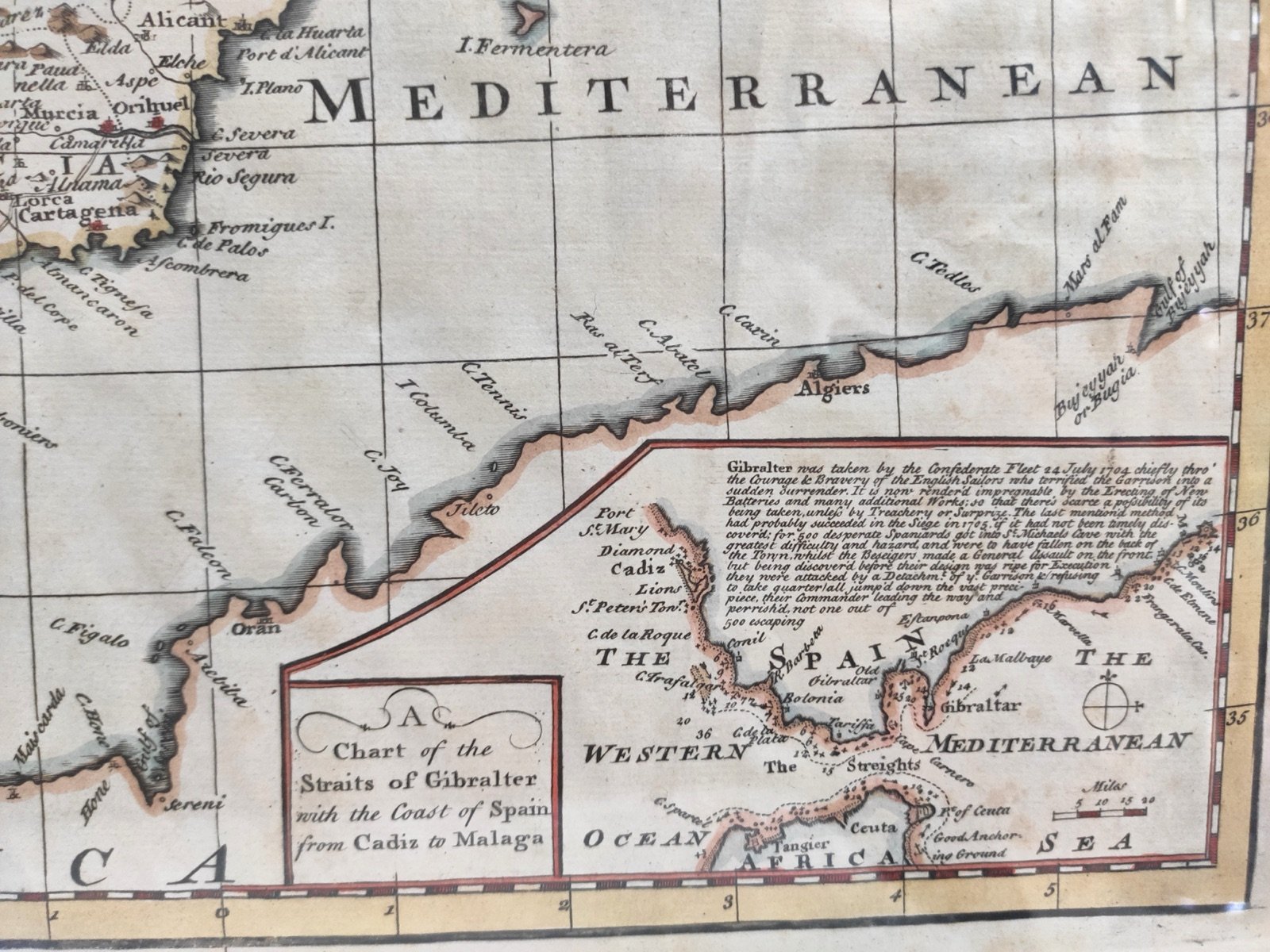
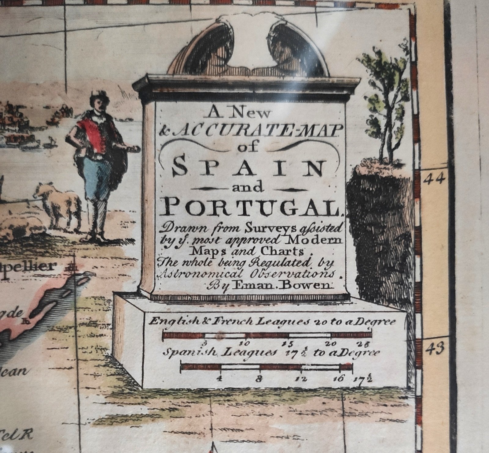
A new accurate-map of spain and portugal -astronomical observations by eman.brown
A new accurate-map of spain and portugal -astronomical observations by eman.brown – foto 1 A new accurate-map of spain and portugal -astronomical observations by eman.brown – foto 2 A new accurate-map of spain and portugal -astronomical observations by eman.brown – foto 3 A new accurate-map of spain and portugal -astronomical observations by eman.brown – foto 4 A new accurate-map of spain and portugal -astronomical observations by eman.brown – foto 5 A new accurate-map of spain and portugal -astronomical observations by eman.brown – foto 6 A new accurate-map of spain and portugal -astronomical observations by eman.brown – foto 7 A new accurate-map of spain and portugal -astronomical observations by eman.brown – foto 8 A new accurate-map of spain and portugal -astronomical observations by eman.brown – foto 9

A new accurate-map of spain and portugal -astronomical observations by eman.brown

Ref. 4823
200 €
📦 Envíos a toda España
Estado
2 - Algún defecto
Categoría
Arte › Cartografía antigua (hasta s. XIX)

Los gastos de envío dependen del tamaño de la pieza y del destino. Pregúntanos y te lo calculamos sin compromiso.

Antigüedades Madrazo · Compra, venta y tasación de antigüedades en Barcelona desde 1975.
Otras piezas que te pueden interesar

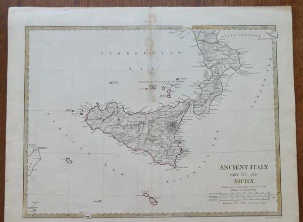
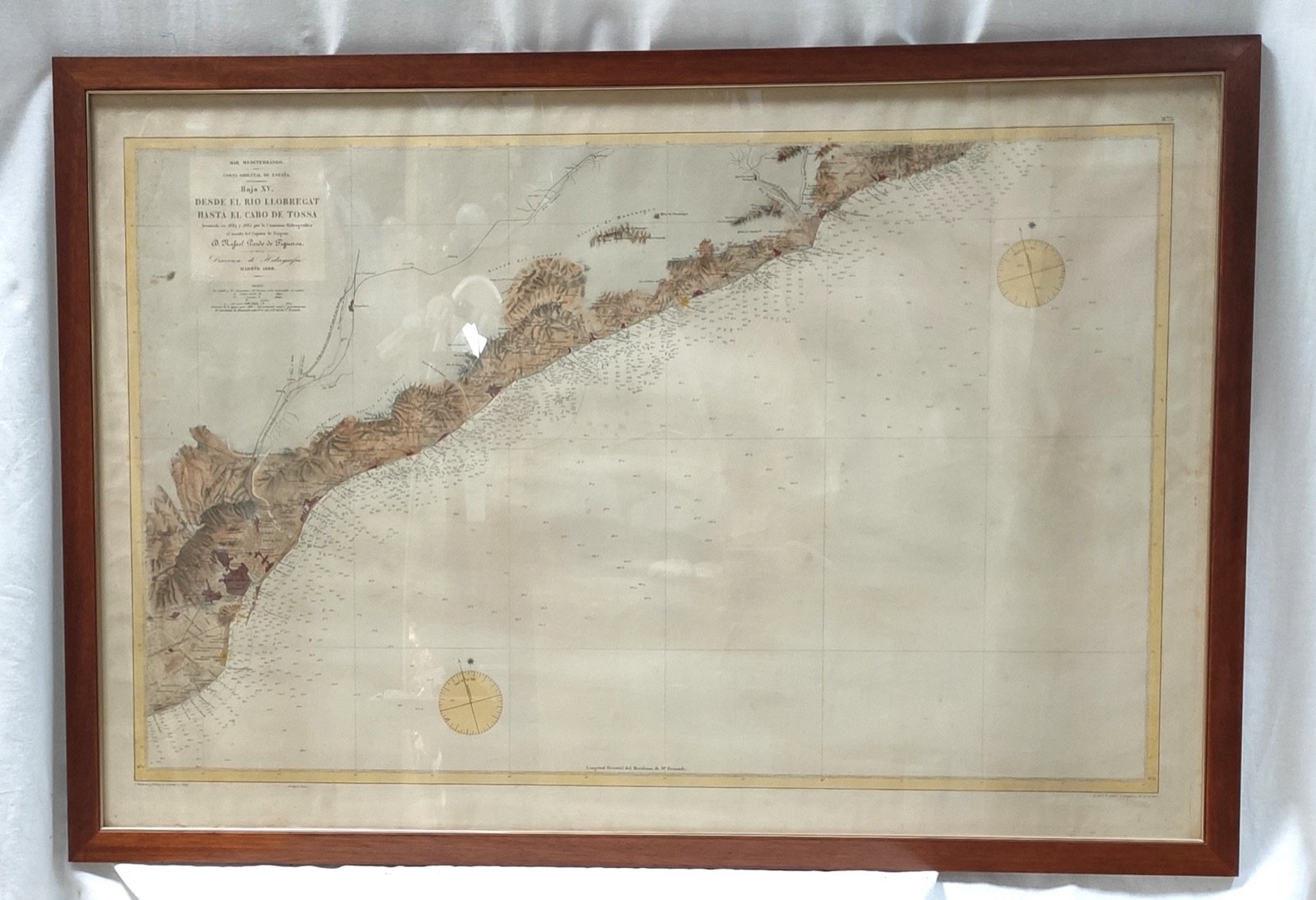
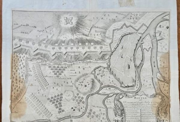
Carte génerale grèce ancienne et de la mer egée- paris 1827 -54,5 40 cm huella Carte génerale grèce ancienne et de la mer egée- paris 1827 -54,5 40… 50 € Grabado espagne & portugal - ambroise tardieu - 1830/40- 51 x 41 cm Grabado espagne & portugal - ambroise tardieu - 1830/40- 51 x 41 cm 25 € Ancient italy part III and sicily - london 1853- j & c walker Ancient italy part III and sicily - london 1853- j & c walker 50 € Plano carta nautica siglo XIX rio llobregat cabo tossa barcelona girona cataluña costa oriental 1888 Plano carta nautica siglo XIX rio llobregat cabo tossa barcelona… 85 € Partie Meridionale du Royaume de Portugal, par le Sr. Robert, Geographe ordinaire du Roy. Avec 1751 Partie Meridionale du Royaume de Portugal, par le Sr. Robert… 25 € PLANO DE LA FORTALEZA DE LA CIUDAD DE PUIGCERDÁ ,GRABADO CON ACUARELA DE 1678. 15 X 10,2 cm PLANO DE LA FORTALEZA DE LA CIUDAD DE PUIGCERDÁ ,GRABADO CON… 90 € Batalla de Donawert, 2 de julio de 1704. Schellenberg/Donauwörth. DU BOSC 1736 mapa Batalla de Donawert, 2 de julio de 1704. Schellenberg/Donauwörth. DU… 50 € Carte du sur de norwége - londres 1813- a. Arrwsmith- 45,7 x 37,4 cm Carte du sur de norwége - londres 1813- a. Arrwsmith- 45,7 x 37,4 cm 50 €

Ver todo el catálogo